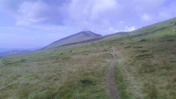
Europe is a giant system of crossed communication routes – railways, highways and roads, gas and oil pipelines, transport corridors, communication networks etc. They try to make our world more comfortable and accessible. Along with those, the territory of the continent is covered with the so-called pedestrian highways. We are talking about a total of 11 marked pedestrian routes that cross some of the most emblematic mountain ranges and wonders of nature in Europe.
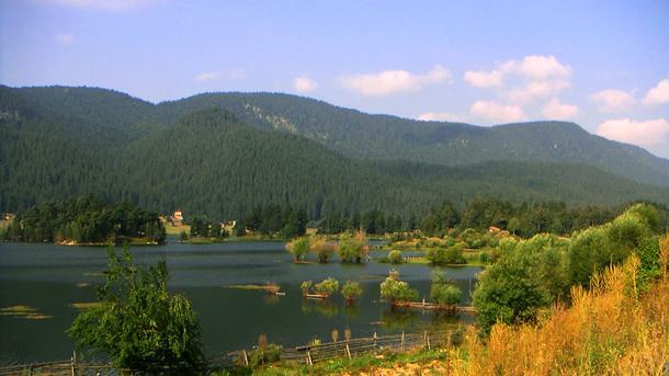
The fans of tracking know well these trans-European pedestrian highways that reveal the best of the nature on the Old continent. The routes in Bulgaria follow the ridges of several mountains near sparkling waterfalls, clear lakes, shadowed forests and huge meadows, leading to some of the greatest natural reserves and protected areas. The entire length of the routes in Bulgaria is 1600 km, which is some sort of a record for a small country like this one. Besides that the advantage is that these pedestrian routes are very well marked, experts say, and the network of huts and shelters guarantees that you will not face the night alone in the mountain, with no roof above your head. E3, E4 and E8 are the markings of the trans-European highways that cross the Bulgarian territory. They are described in details in the maps and guidebooks that are distributed in this country and abroad. You will need some serious equipment and experience to travel along these routes. The most famous and longest trans-European pedestrian route – E3 ends up on Bulgarian territory. It is over 10 000 km long and starts in Scandinavia in order to end on the Bulgarian Black Sea coast. The route passes through the mountain peak Kom in Northwestern Bulgaria, follows the ridge of the Balkan Range and reaches cape Emine at the seaside. “The route had been popular a long time before the 1990s when the European pedestrian association started to mark these paths in Bulgaria” – Mr Georgi Karpachev from the national committee for tourist marking within the Bulgarian Tourist Union says.
“This is an entirely mountain route with a total length of over 700 km – Mr Karpachev says. – It crosses almost 100 mountain peaks. One of its advantages is the building of about 30 huts on both sides of the Balkan Range at a range of at least one day walking. So tourists may stay at one of them at the end of each transition to feed themselves and recover their strength for the next day. The route crosses the highest peak of the Balkan Range – Botev /2376 m./ and goes through the National park “Central Balkan” as well as other protected natural areas. The entire route can be walked for 20-25 days with no big effort. And then one may say freely that he or she has got acquainted with the Bulgarian mountains!”
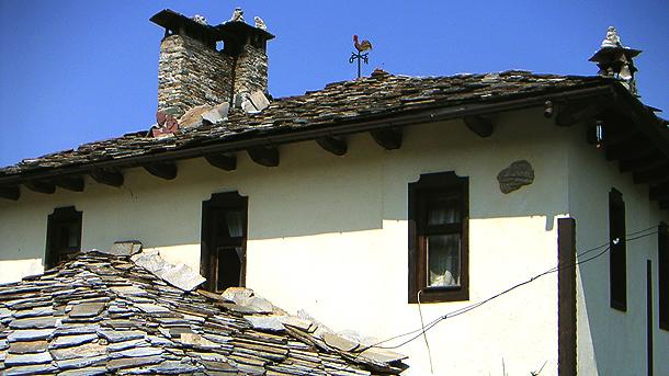
It’s worth a person to move aside from these accurately marked routes to the lowest parts of the mountain in order to visit some of the green settlements that have preserved their ancient outlook. Tryavna, Bozhentsi, Apriltsi, Troyan, Kalofer and many other beautiful mountain villages and towns will welcome their guests at the local family hotels. Georgi Karpachev also recommends the pedestrian highway E4. On Bulgarian territory it starts from the mountain of Vitosha near the capital city of Sofia, crosses the most beautiful spots of the Rila and Pirin mountains, then through the border mountain of Slavyanka continues to Greece. These routes reveal the fascination of the highest peaks on the Balkans Musala /2925m/, Vihren /2914m/ etc. Mr Karpachev tells us more about route E8 – the pedestrian highway that crosses Southeastern Bulgaria:
“On Bulgarian territory the route begins from the Borovetz resort in the Rila Mountain, climbs up the Musala peak and goes to the Rhodopee Mountain. It is made to cross some of the most interesting spots, such as the “Yagodinskata” and “Dyavolskoto garlo” caves and the recent archaeological excavations in the eastern parts of the Rhodopee Mountain. The route is accessible through most of the year and can be covered for a couple of weeks. There are not so many huts but the mountain is full with small ancient villages where you can find fine guesthouses and family hotels. After leaving Bulgarian territory E8 continues in Turkey.”
English version: Zhivko Stanchev
Photographs are provided by the author
По публикацията работи: Veneta Nikolova
Последвайте ни и в
Google News Showcase, за да научите най-важното от деня!


