
Who said Bulgarians were grumpy pessimists? Take a stroll through Sofia's Christmas bazaars and meet the cheerful crowd. The festive decorations, music, merry-go-rounds and stalls overflowing with treats and handmade souvenirs can make the gloomiest..
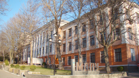
Bulgarian studies are highly valued at the Bogdan Khmelnitsky State Pedagogical University in the Ukrainian city of Melitopol. So it comes as no surprise that the university is hosting the latest edition of the International Bulgarian Studies Readings,..
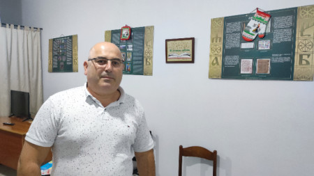
"You say you are Bulgarian, but you do not know Bulgarian" – this reproach from officials in Bulgaria has been faced by quite a few by our compatriots from the historical Bulgarian communities around the world. One of them is Bledar Alterziu from..


The village of Zmeyovo near the town of Stara Zagora is celebrating today, December 21, its traditional Festival of Pelin Wine. According to an..
Each piece evokes warmth and nostalgia because each is handmade and unique. The silvery reflections on the glass baubles take us back to childhood, when..
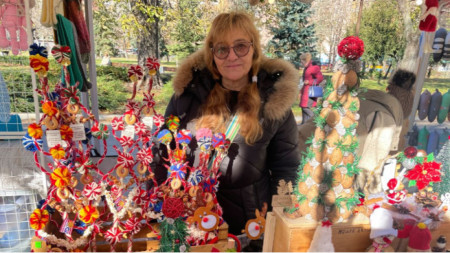
The making of knitted products is a traditional craft that deserves a revival and a new life, believes Alexandrina Pandurska, known for her numerous..