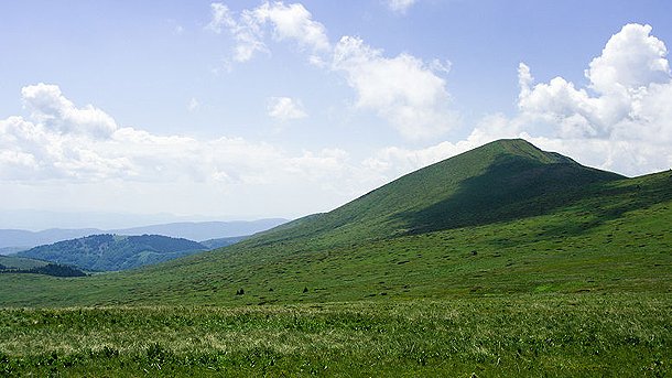
If we take a look at Bulgaria’s shaded relief physical map, we will see quite a lot of areas shaded in brown amid the predominant green color. The Balkan Range is the longest mountain in Bulgaria, spreading across the middle of the country and running from the westernmost to the easternmost parts. To the south, we see the names of the three large mountain ranges of Rila, Pirin and Rhodope written in big letters. These are the largest and most popular mountains in Bulgaria.
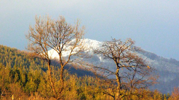
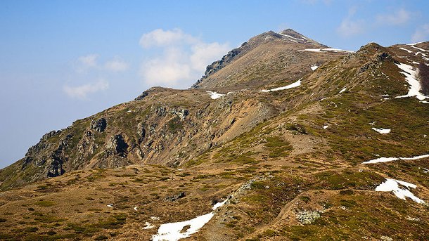
There is, however, a network of ten smaller mountains whose names are less known to tourists but their paths are ready to disclose their secrets to each eager hiker who has taken to tread them.

© Photo: bg.wikipedia.org
The professional mountain guide Momchil Tsvetanov from Sofia-based Radetzki Tourist Agency tells us in detail about these western mountains, starting from their most northern parts. This is the place where the Balkan Range reaches Bulgaria’s border with Serbia. The highest point there is the peak of Kom rising at an altitude of 2,016 meters. To the north of it, there are a few very interesting places such as the peaks of Kopren and Trite Chuki. They are becoming more and more popular now, when the regulations for crossing the Bulgarian-Serbian border have become less strict. Momchil Tsvetanov explains:

© Photo: tran.bg
“Another interesting place in this region is Bulgaria’s most northern point which is situated also along the western border. This is the place where the Timok River flows into the Danube, forming exceptionally beautiful scenery. Here tourists stand at one of the four corners of Bulgaria’s geographic map. Other nearby sights are the Belogradchik Rocks, and the towns of Berkovitza and Chiprovtzi. Once you go south from the Western border, you reach the region of Trun and Kraishte. In this part of Bulgaria, you will find several very picturesque mountain chains. One of them is Ruy Mountain that spreads also onto Serbian territory. And its highest peak, Ruy, is situated at the border and is 1706 meters high.”
To the south of this peak, the region of Kraishte starts, where one of the most interesting mountains is the so-called Bloody Stone Mountain. The origin of this ominous name probably comes from the name of a very mysterious rock hidden in the forest. One legend has it that the rock got painted in red at sunrise, and another legend says that during the Ottoman domination on Bulgarian lands, people used to be slaughtered there and their spilled blood gave the name to the rock.
If we head south, we reach another large mountain in Kraishte – Milevska Mountain. Its highest peak, Milevetz(1733 meters), offers a wonderful view of the highest peak in the region of Kraishte – the peak of Besna Kobila (The Wild Mare) with an altitude of 1924 meters, situated in Serbia.
Next on our route, Momchil takes us to the least popular mountain in Bulgaria - the Chudinska Mountain. It was named after a secluded mountain village – the village of Chudintzi. This is the westernmost part of Bulgaria. Several kilometers to the south, we reach the meeting point of three national borders – the Bulgarian, Serbian, and Macedonian borders. Here Momchil Tsvetanov describes a unique natural sight:
“This is an extremely large rock that resembles the head of a stone elephant. One can discern a pair of giant ears as well as a 50-centimeter trunk that is hanging over a deep precipice. The entire rock sculpture is a natural phenomenon that, along with the beautiful panoramic vistas, is worth visiting and could give an impetus to the development of the tourist sector in this region”, Tsvetanov is convinced.
If we go further south, we will reach the peak of Markovi Kladentzi (1523 meters), situated in the Bulgarian part of the Ograjden Mountain. It offers a lovely view of the mountains of Belasitsa and Pirin. Tourists who have seen these views in early spring often describe them as “landscapes of Switzerland”.

© Photo: bg.wikipedia.org
“Slowly, we reach the southernmost part of the western border – the Belasitza Mountain. Here we come to another point where the national borders of three countries (Bulgaria, Greece and Macedonia) converge. The highest peak here is Tumba with an altitude of 1880 meters, which is situated exactly at the border. If you take a walk around the highest section of the peak, in less than 15 seconds you will cross the territory of three countries”, Momchil Tsvetanov, mountain guide from Radetzki Tourist Agency, said in conclusion.
English version: Rossitsa Petcova
A self-taught woodcarver embarks on the path of his dreams. Year after year he recreates the images that fill his imagination, racing against the fastest adversary - time. But one day, as he sits down to contemplate his creation, his mortality betrays him...
The most enthusiastic skiers can now ski down the snowy slopes of Rila Mountain after dark. The Malyovitsa resort complex is opening night skiing, reports BTA. Skiers and snowboarders can try the slopes every Saturday night from 18:00 to 21:00. The..
Pristine nature, homely comfort, delicious meals and snowy emotions - Momchilovtsi is a paradise for lovers of rural tourism. In the height of the tourist season, the guest houses and restaurants in the Rhodope village are working at..

+359 2 9336 661
